
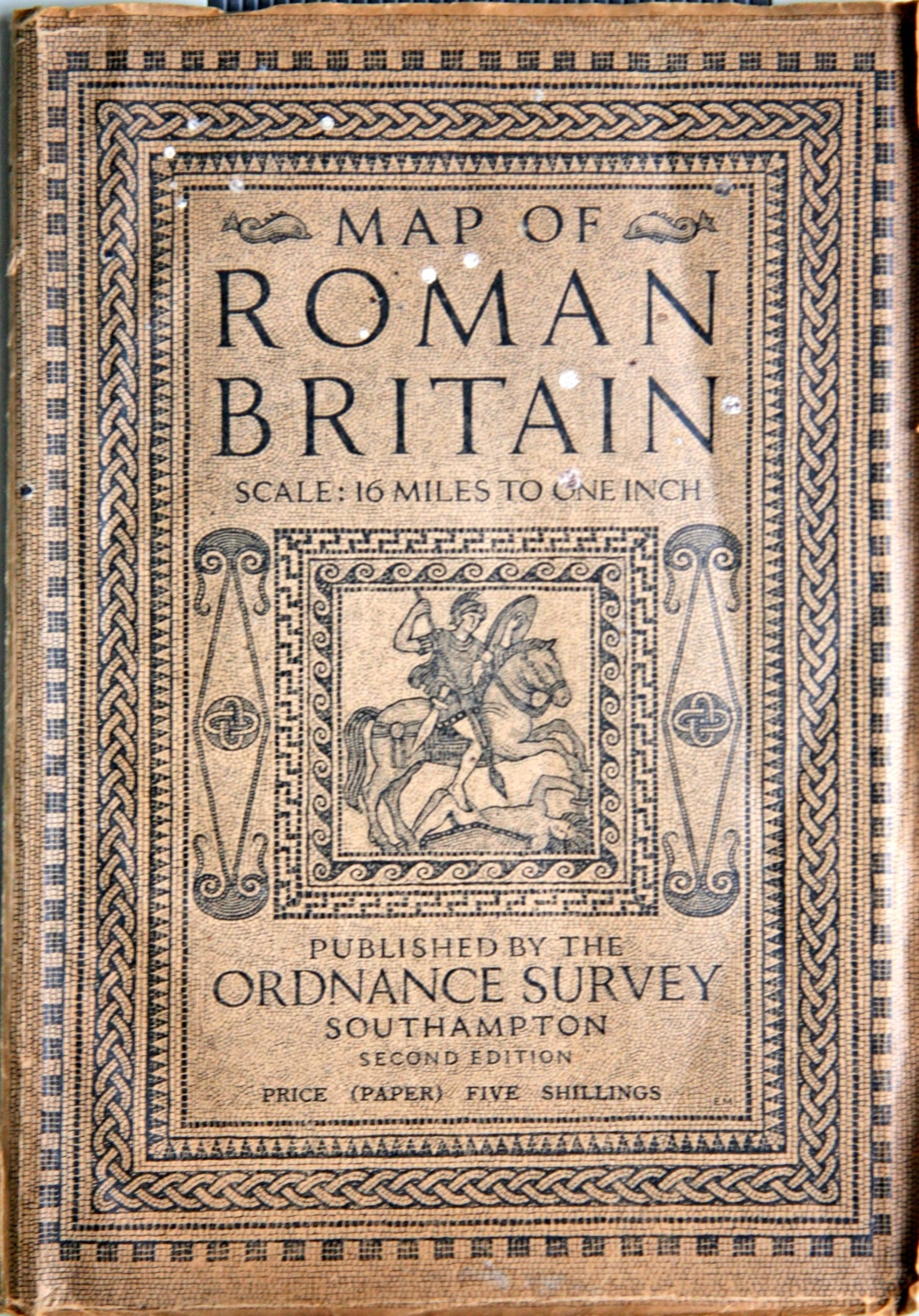
Description
A booklet containing notes on this second edition of the map (scale 16 miles to one inch) plus a chronological table of events and index, together with fold-out map.
Publisher
Ordnance Survey
Year created
1931
Publication Date/Date Made
1931
Physical Characteristics (Dimensions)
15.4 cm x 22.6 cm
Physical Characteristics (Description)
16-page paperback booklet with fold-out map
Donor or Creator of Records
Barbara Jerram
Provenance
From the library of Tony Jerram (1937-2008), the first Chairman of The Badsey Society
Nature of Acquisition
Gift
Accession Date
2009
Access Conditions
Contact Archive Manager
Reference
2586/B/GH